AquaTopo 3D Maps
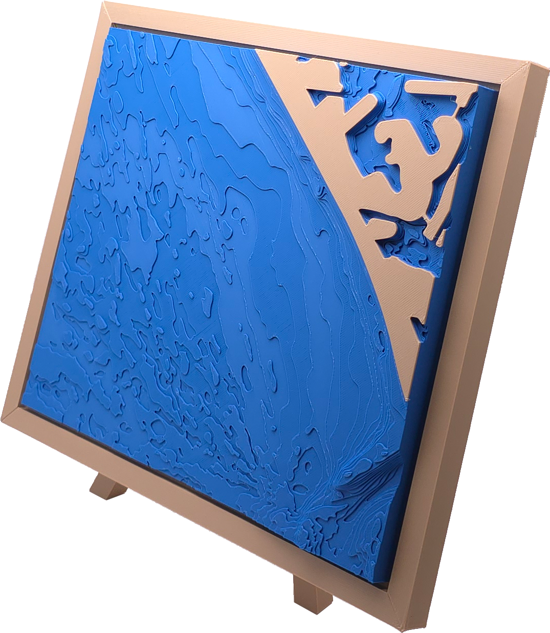
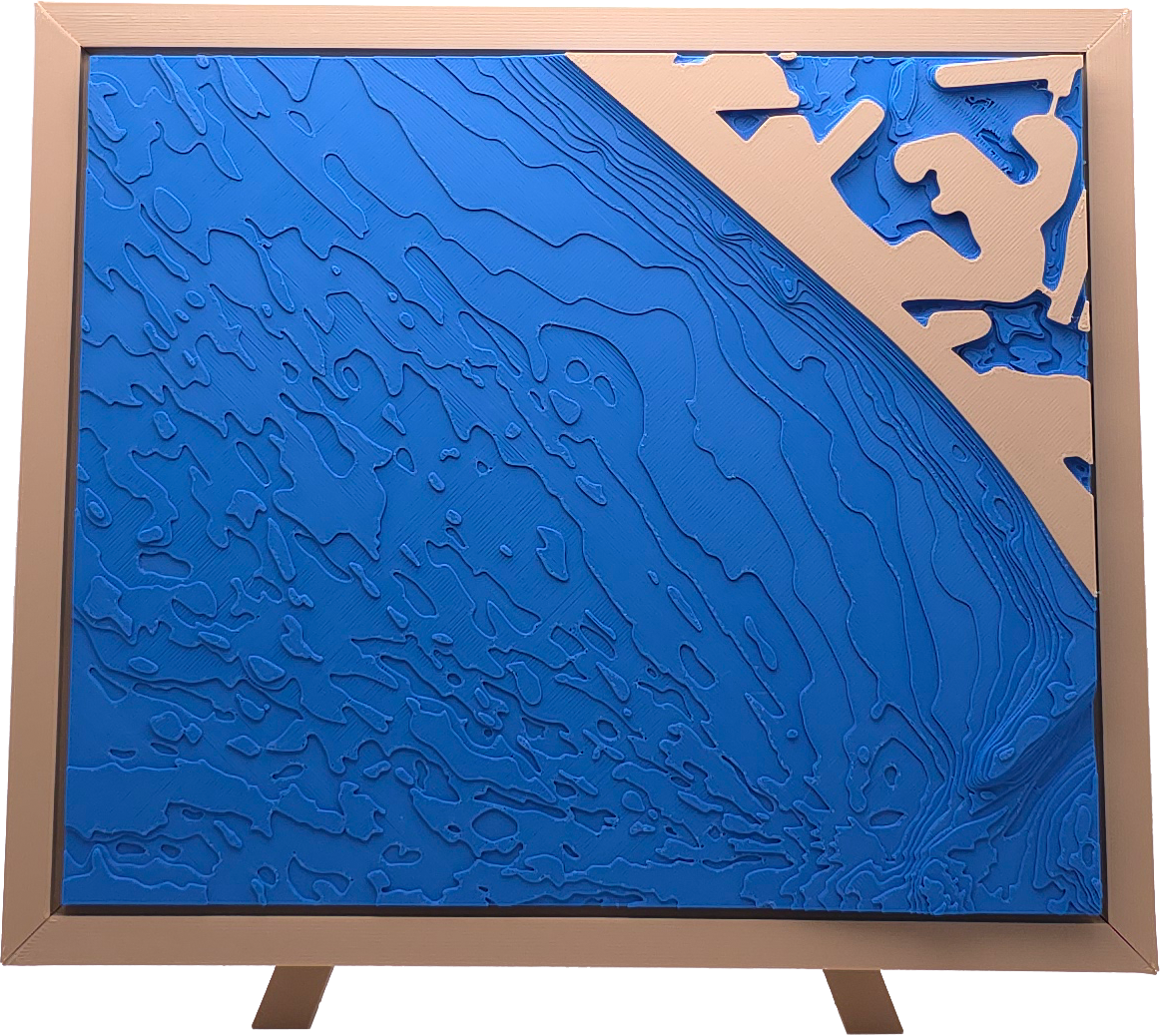
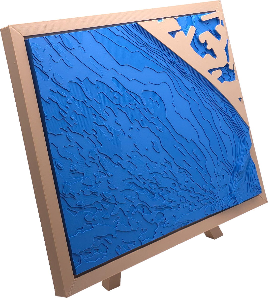
Madeira Beach, Florida
Madeira Beach, Florida
Couldn't load pickup availability
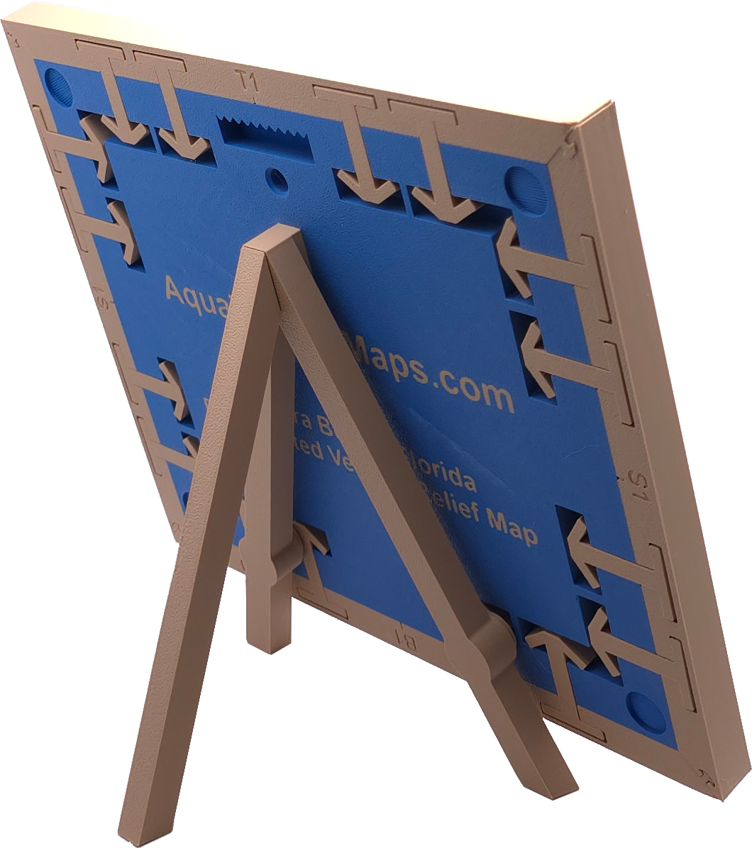
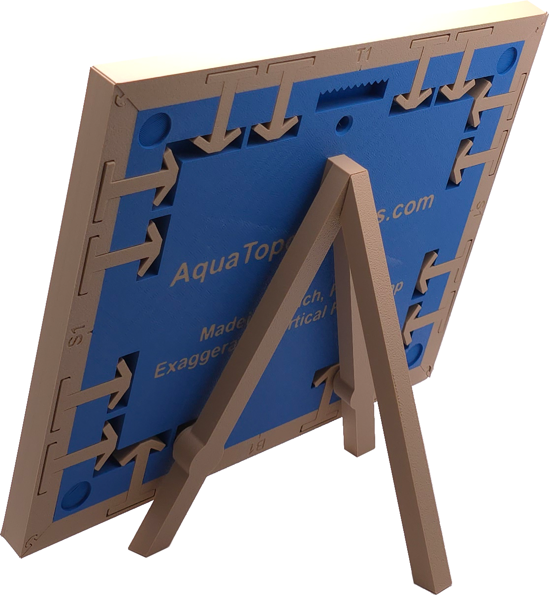
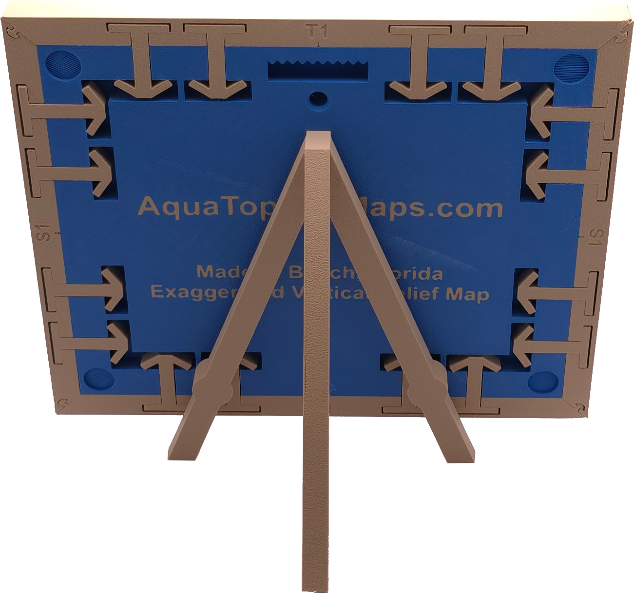
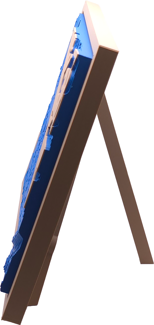
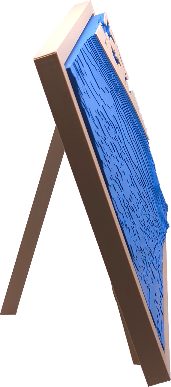
Exaggerated vertical relief map of the underwater landscape of the Madeira Beach in Florida. Each layer line represents one vertical foot. The map comes with an attractive tripod stand that fits securely into the back of the map. The map also has removable borders and is compatible with the AquaTopo Grid System, which allows for securely combining multiple maps together to create larger maps where you decide which pieces you want.
How It's Made
Each map is 3D printed on demand when you place your order. This reduces wasted plastic and allows for very small levels of inventory. 3D printing also allows us to either eliminate, or take advantage of, the biggest drawbacks with 3D printing; layer lines, overhangs, and multiple colors. As for layer lines, the whole point of our maps is to show layer lines! Bring'em on! But on a more serious note, the layer lines are almost non-existent unless they are a deliberate part of the design. Areas where land hangs out over the water are practically non-existent on the Florida coast, so 3D printed overhangs aren't an issue either. And lastly, color 3D prints are notorious for extended print times and producing a lot of wasted filament. AquaTopo maps only have two layers of color changes on the back, and one color change at the transition from water to land (the frames and clips are printed separately, so there's no color change necessary there). All of which eliminate the vast majority of the issues with 3D prints.
In addition, the flexibility of 3D printing means we can update map designs and incorporate them into future releases without modifications to our printing process.
Nerd Note: For those of you who know a few things about 3D printing, the maps are printed in a print farm consisting of Bambu Lab P1S's & AMS (x10) and A1-Mini's (x5).
AquaTopo Grid System
All of the AquaTopo map panels fit together in a bricklayer-overlap style. This pattern was chosen to enhance the strength of the joints, and to allow the maps to more gracefully navigate a curved shoreline.
Dimensions
With full frame:
- Height: 207 mm (8.149 in.)
- Width: 243.8 mm (9.598 in.)
- Weight: 395.24 g (13.94 oz.)
Map only (no frame):
- Height: 182 mm (7.165 in.)
- Width: 218.8 mm (8.614 in.)
- Weight: 286 g (10.09 oz.)
The tripod stand adds 3/4" to the height and tilts the map at 20 degrees.
Share